15 Day SOBO John Muir Trail Itinerary
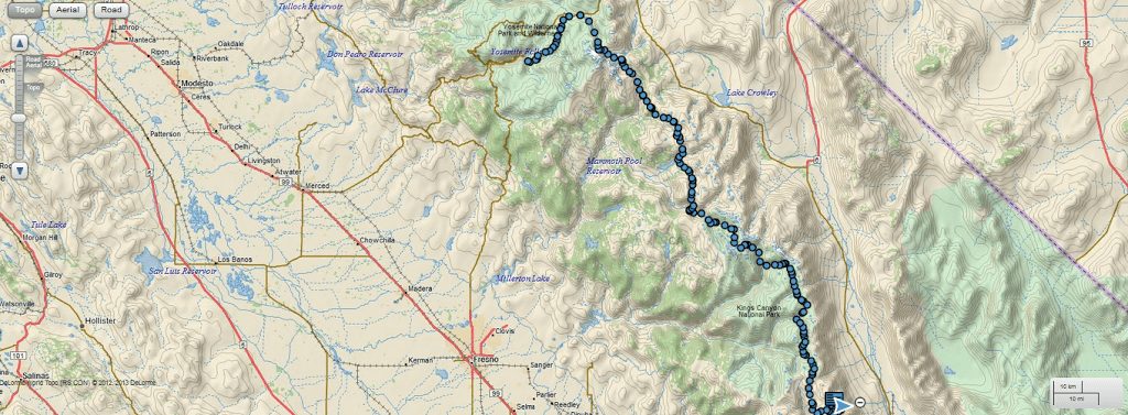
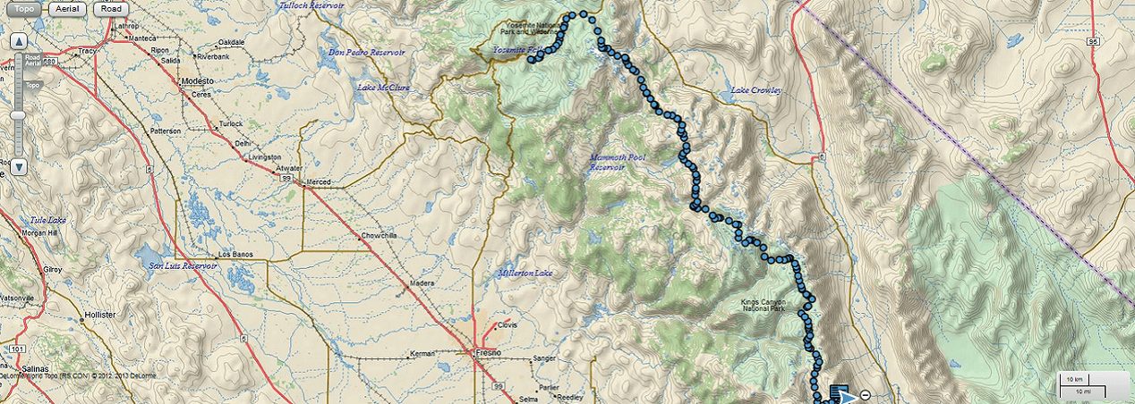
This is my summer 2014 John Muir Trail itinerary. I hiked Southbound starting at Happy Isles in Yosemite Valley to Whitney Portal. The official length of the JMT is 211 miles which ends at the summit of Mount Whitney. The rest of the mileage comes from my descent and any extra mileage I did. This includes a one mile wrong turn onto the PCT (I turned back to return to the official JMT route) and some extra mileage to go to resupplies.
| Day | Starting Point | Ending Point | Today's Mileage | Total Mileage | Notes |
|---|---|---|---|---|---|
| 1 | Happy Isles Trailhead | Little Yosemite Valley Campground | 4.6 | 4.6 | |
| 2 | Little Yosemite Valley Campground | Tuolumne Backpackers Campground | 18.4 | 23.0 | |
| 3 | Tuolumne Backpackers Campground | ~Thousland Island Lake (on PCT) | 21.3 | 44.3 | Small resupply from Tuolume and breakfast from grill |
| 4 | ~Thousland Island Lake (on PCT) | Upper Crater Meadow | 20.7 | 65.0 | Resupply at Reds Meadows |
| 5 | Upper Crater Meadow | Squaw Lake | 17.0 | 82.0 | Favorite camp spot! |
| 6 | Squaw Lake | Bear Creek | 16.2 | 98.2 | |
| 7 | Bear Creek | Blayney Hot Springs | 11.0 | 109.2 | Resupply at Muir Trail Ranch- last resupply of the trip |
| 8 | Blayney Hot Springs | Evolution Meadow | 11.0 | 120.2 | Took a half day at the hiker hot springs |
| 9 | Evolution Meadow | Uknown Pond | 14.0 | 134.2 | |
| 10 | Uknown Pond | Glacier Creek | 13.3 | 147.5 | |
| 11 | Glacier Creek | J Bench Lake | 14.3 | 161.8 | Cold but gorgeous camping! |
| 12 | J Bench Lake | Arrowhead Lake | 14.6 | 176.4 | |
| 13 | Arrowhead Lake | After descent of Forester Pass | 19.2 | 195.6 | Very cold and windy spot. Not many options around Forester |
| 14 | After descent of Forester Pass | Guitar Lake | 13.8 | 209.4 | Can continue to get closer to final climb up Whitney |
| 15 | Guitar Lake | Whitney Portal | 13.8 | 223.2 | Burger time! Thumb a ride to Lone Pine |
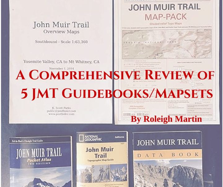
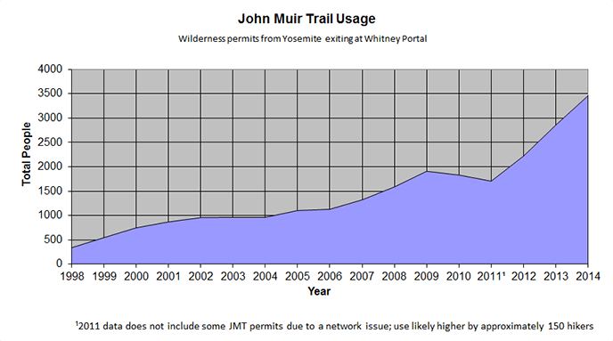
Happy planning!
Joe
Can you provide a reference point that approximates the location of the Unknown Pond where you camped after leaving Evolution Meadow?